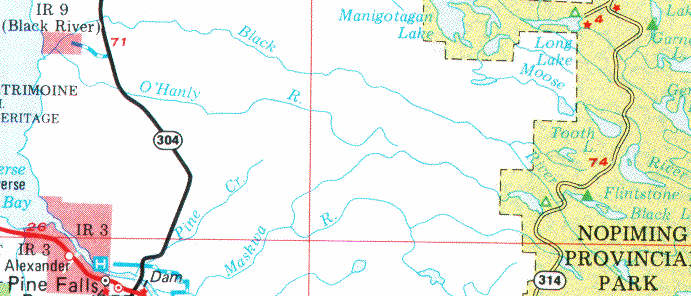
The Black River
Last update=6 April, 2000
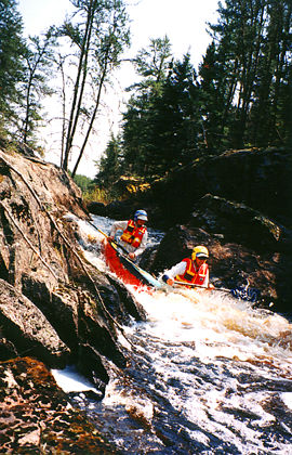
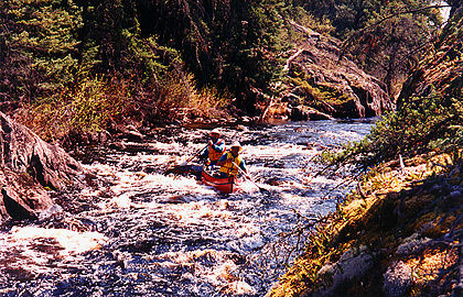
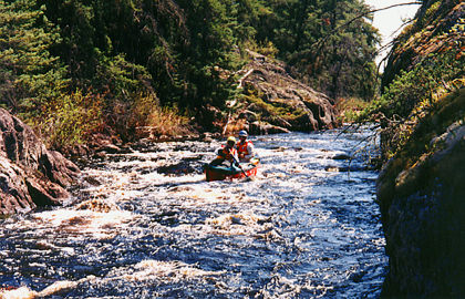
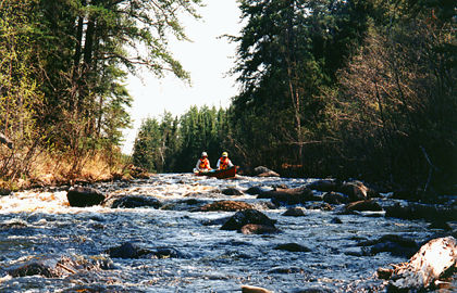
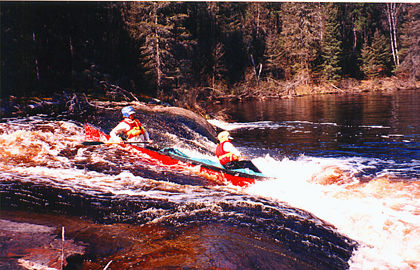
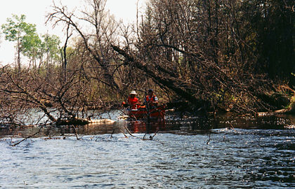
The Black River arises in Nopiming park as the confluence of two small streams, the Rabbit River, and a small creek, called the Black "River", flowing out of Black Lake. The Black can only be paddled in periods of high water, usually during spring run-off in mid May. With good water levels, the Black is one of the most enjoyable canoe routes in south-eastern Manitoba. It offers beautiful scenery, ranging from shield rocks, spruce and mixed forests, to swampy flatlands, with plenty of rapids requiring very few portages. It has many more rapids than the Manigotagan, most of them runnable. With high water levels, the Black is a whitewater challenge. As the water level drops, it becomes highly technical. As the water level drops further, it turns into a series of rock gardens which can't be paddled.
A trip down the Black usually takes 4 days, although it can be done in 3 if necessary. Put in on PTH 314 in Nopiming Park, at either the Rabbit River crossing or the Black River crossing. Another possibility is to camp at the Black Lake campground the night before, and then start the trip at Black Lake. The take-out is either at PTH 304, or further downstream, at the Black River Reserve.
Camping spots are few on the Black, especially in the long stretches of swampy flatland. Some of the best camping spots are on high ridges that occur occasionally along the shore. The water is dark brown in colour - be sure to bring a water filter.
The photos shown here were taken on a trip down the Black in early May, 1998. Water levels were somewhat low.
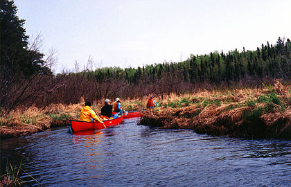 | headwaters | 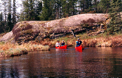 | headwaters |
 | creeking | 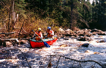 | through the rock garden |
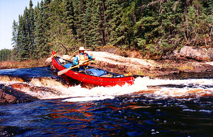 | a chute | 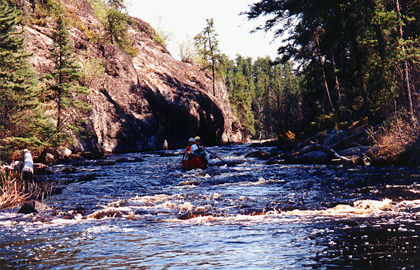 | a bony rapid |
 | top of the mini "canyon" | 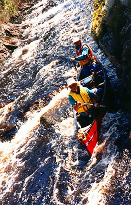 | the mini "canyon" |
 | the mini "canyon" | 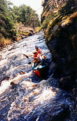 | the mini "canyon" |
 | more rock gardens | 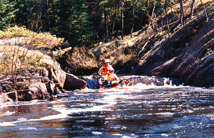 | a small chute |
 | a chute | 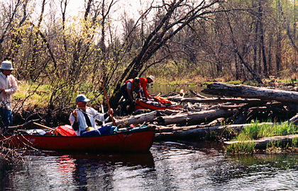 | typical deadfall |
 | more deadfall | 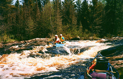 | fun stuff |
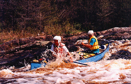 | more fun stuff | 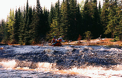 | "get out if you can, Dad" rapids |
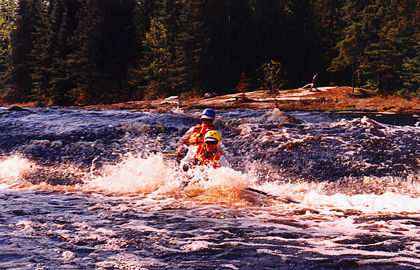 | "get out if you can, Dad" rapids | 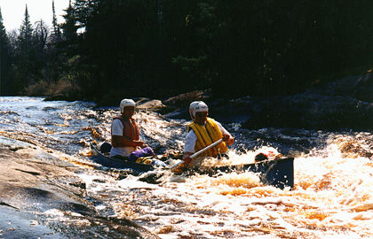 | roller coaster rapids |
 Go back to Bill Kocay's River Running Pages.