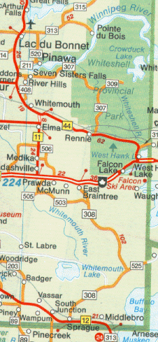
The Whitemouth River
Last update=28 May, 98
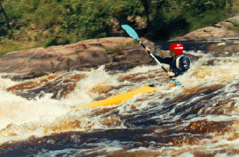
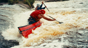
The Whitemouth River flows out of Whitemouth Lake in SE Manitoba through the sandy lands deposited millenia ago by the glacial Lake Agassiz. Then its course follows the transition region between the farmlands to the west and the Canadian shield to the east. Through a series of rapids and falls it flows to its confluence with the Winnipeg River at Whitemouth Falls, near Seven Sisters Rapids on the mighty Winnipeg River. The rapids and falls on this river make it one of the most popular rivers for kayaking and canoeing in Manitoba. This page contains some photos of MRCA members riding the waves.
In the 1940's the Whitemouth River was a "utopia", according to people who grew up in the region. "You could walk across the river on the backs of the fish." You could drink the water straight out of the river. This has changed enormously. Agricultural run-off has affected the water, and reduced the fish population enormously. Most of the trees along the bank have been cut down. When the railway was built in the late 19th century, the forests along the Whitemouth were used as a supply of railroad ties as the railway pushed west across the prairies. The rapids along the river are mostly class 1 and 2, with some class 3, especially in high water years. In low water years the rapids turn into rock gardens. Nearly all the rapids and falls are runnable.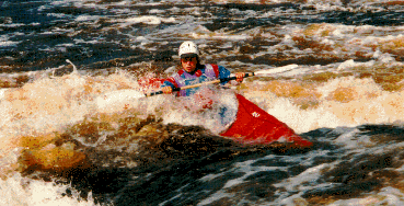 Oak Falls, Sept., 93
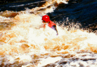
 Oak Falls, Sept., 93
 Oak Falls, Sept., 93
 Oak Falls, Sept., 93
 Oak Falls, Sept., 93
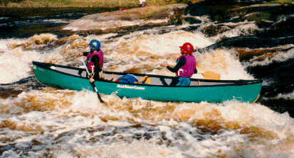
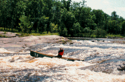 Cooks Rapids, summer 93
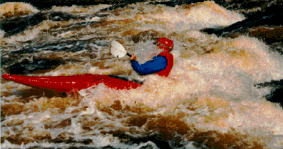
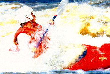 Oak Falls, summer 94
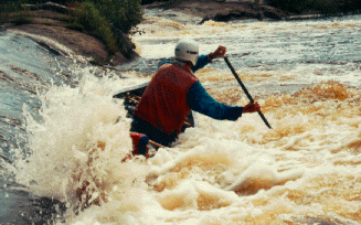 Church Rapids, Aug., 94
 Oak Falls, summer 94
 Church Rapids, Aug., 94
 Go back to Bill Kocay's River Running Pages.